TBSD60
 BSD120
 BSD98
BSD98 BSD70
BSD70 BSD60
BSD60 BSD50
BSD50 BSD217
 INS1700
 INS970
 INS570
 INS170
 SLA-4B1L1-65
 SLA-4B1L1-130
 SLA-8B1L1-165
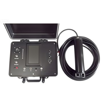
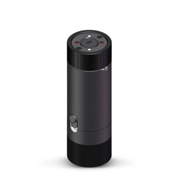
 DIVER 101
 DIVER 102
 DIVER 103
 DIVER 104
 DIVER 105
 DIVER 106
 SLLR3000
 SLLR905
 SLLD25
 160M
160M 170M
170M SLFC-70
 SLAF280
 MR360
MR360
Leave Your Message
Poseidon International Group (Hong Kong) Limited — Connecting the World Through High Accuracy Navigation Technology
Based in Hong Kong, we are a global enterprise dedicated to delivering high-quality products and professional services. We have established long-term, stable, and efficient partnerships with numerous suppliers worldwide, ensuring competitive pricing and superior product quality. Guided by the vision of "Connecting the World through Inertial Navigation", we strive to push the boundaries of navigation technology, aiming to become a leading integrated solutions provider with a broad product portfolio and advanced competencies.
Reducing overall production and operational costs by 25% through proprietary engineering.
Improving navigation performance and sensor fusion accuracy by 20% in harsh environments.
Ensuring stable quality and efficiency across all aerospace and marine product lines.
Delivering cross-industry solutions from individual components to full complex systems.

We provide comprehensive, all-in-one solutions, whether for components, products, systems, or complete project solutions, always ensuring the best value for our clients.

Our experienced team, with deep expertise in international trade and aerospace navigation, is dedicated to crafting cost-effective solutions tailored to customer needs.

Additionally, through close partnerships with leading logistics providers, we guarantee timely and secure deliveries worldwide.
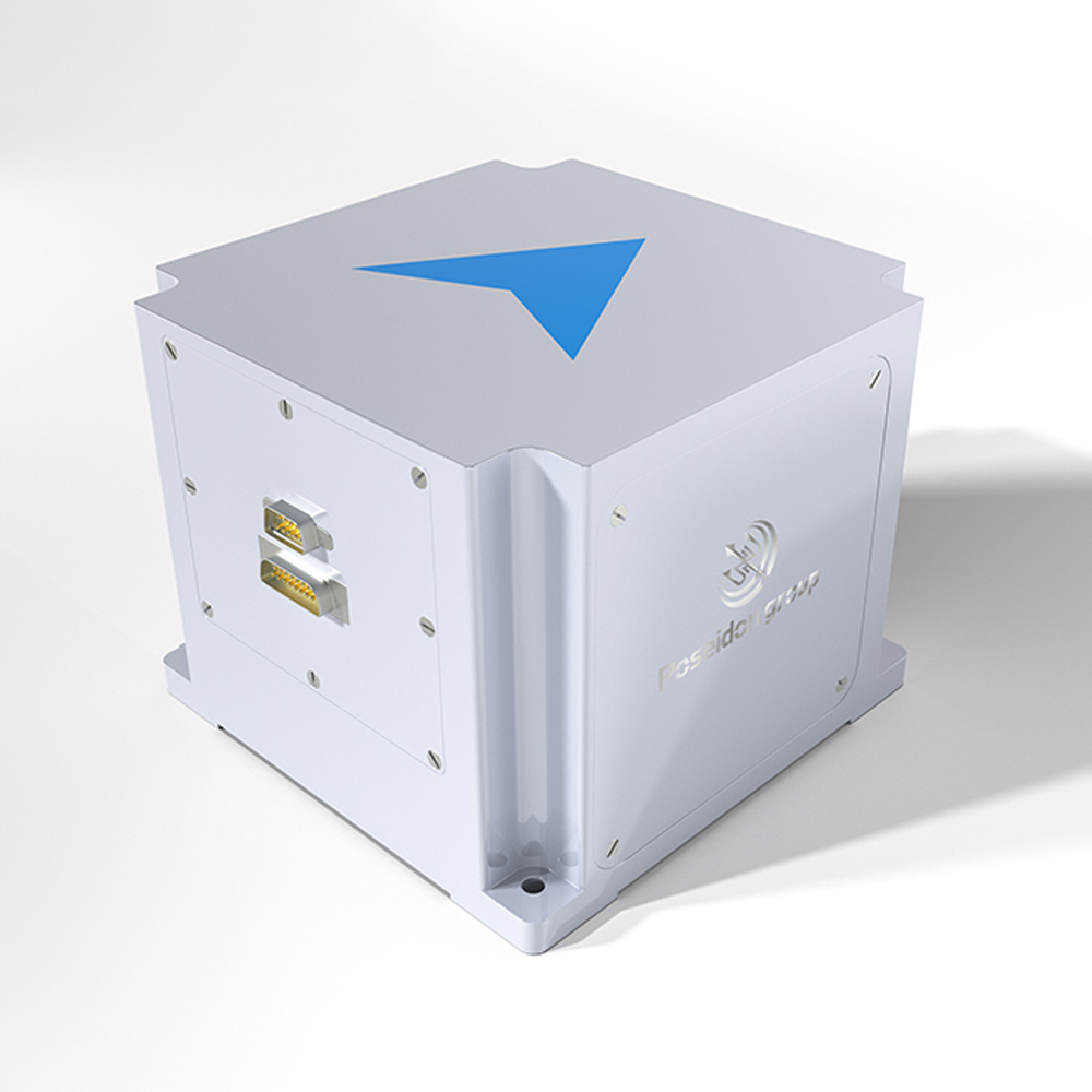

We specialize in the independent research, design, and production of fiber optic gyroscopes (FOG), inertial navigation systems (INS), attitude and control systems, autonomous driving systems, and intelligent control systems for unmanned equipment. By integrating industry-specific requirements, we have made significant technological advancements in digitalization, automation, and intelligence, securing multiple technical patents. With years of experience, we have evolved into a multi-industry intelligent solutions provider.
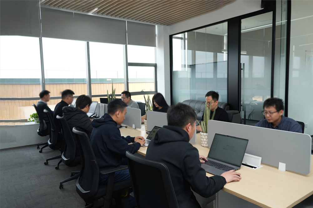
Our core team comprises seasoned experts with extensive backgrounds in aerospace and inertial navigation. We have successfully tackled critical technological challenges in high-precision GNSS-free navigation, laser measurement, integrated navigation, multi-source data fusion, and precise positioning—areas that were once bottlenecks in the industry.


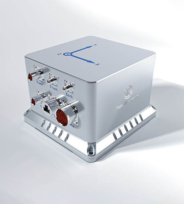
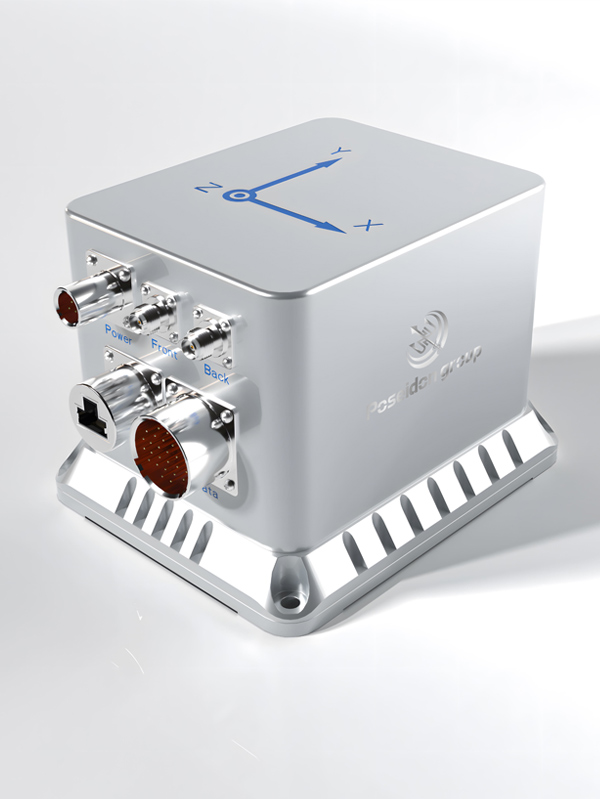
Our products are smaller in size, higher in accuracy, and more stable in performance, featuring long-term dynamic auto-calibration with zero-drift operation. They are widely adopted in scientific research, industrial control, intelligent unmanned systems, high-precision detection, and metrology. Having passed rigorous validation in aviation, aerospace, marine, mining, and railway applications, our solutions have been procured in bulk, filling key technological gaps.

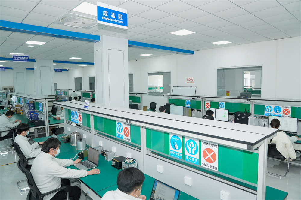
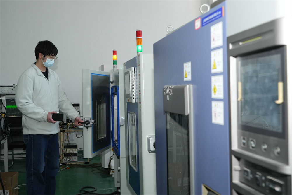
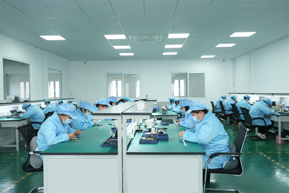
We operate over 6,000-square-meter manufacturing facility in mainland China, equipped with advanced R&D, production, and testing infrastructure, enabling large-scale production and timely delivery. Our network of subsidiaries, offices, and spare parts warehouses across China ensures prompt technical support and after-sales service.
Compared to similar companies, we offer unique advantages in the global navigation market:

Creating mutually beneficial, long-term relationships with clients and partners worldwide.

Unwavering commitment to ethical business practices and product reliability.

Providing clear, one-time offers with absolutely no hidden costs or surprise fees.

24/7 service guarantee across all time zones with minimal technical response time.